Real-time ground shaking maps with Antelope and ML
Simone Francesco Fornasari - University of Trieste
Antelope User Group 2024 - Trieste
Background context
Ground shaking maps have been used in a variety of scenarios, from emergency response to portfolio risk assessment.
Interpolation algorithms (e.g. ShakeMap) use data recorded at the stations and the event magnitude and localization estimates.
The core idea of the project is to quickly provide preliminary information useful for Civil Defence purposes without the need for localization.
Can we reconstruct ground shaking maps exploiting only real time data?
ShakeRec-hybrid
ShakeRec-hybrid combines a neural network (called ConvCNP) with MVN.
The workflow is quite simple:
- The GMP recorded at the stations are corrected for soil effects
- The corrected GMP are encoded on a regular grid
- The encoded grid is passed to a neural network
- The neural network output is decoded at arbitrary points
- Site effects are reintroduced
- The recorded GMP and the obtained output are passed to the MVN
The ConvCNP acts as a GMPE replacement without the need for the event location and magnitude.
Training datasets
INGV ShakeMap archive and DISS-based synthetic data
(Mori et al., 2021)
Connecting with Antelope
A custom library has been developed to read packet from the ORB and extract the ground motion parameters in real time.
To ensure good performance (in Python?!):
- The stations are subdivided in multiple processes
- Date reading, pre-processing, and processing are performed on multiple threads
- Minimal data are shared among processes
- ShakeRec-hybrid works on trigger
- The outputs are temporarly stored in a Redis (in-memory) database ⟶ Replace with Antelope ORB?
- The final outputs are saved in JSON files whose path are stored in a SQL database ⟶ Replace with Antelope database?
DISCLAIMER
The implementation is ongoing!Data visualization

Past events info
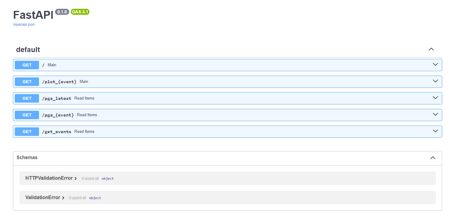
Web service
Open questions
- How to decide when to save the results?
- How to associate the maps to the actual event?
- How to properly frame the reconstruction (i.e. make the maps stay put)?
- How to store the data?
Thanks for your attention!
simonefrancesco.fornasari@phd.units.it